Slættaratindur - hike to summit

Article By: Dan Hill
5 years ago
0 ratings
Nature-Mountain
Nature-View point
Social Distance-Social distance friendly
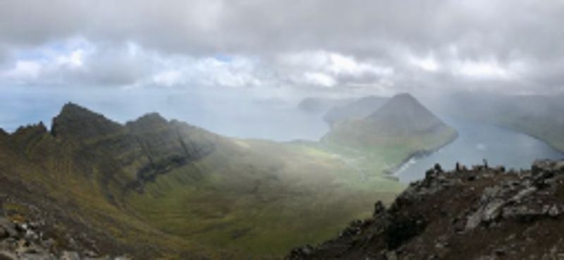
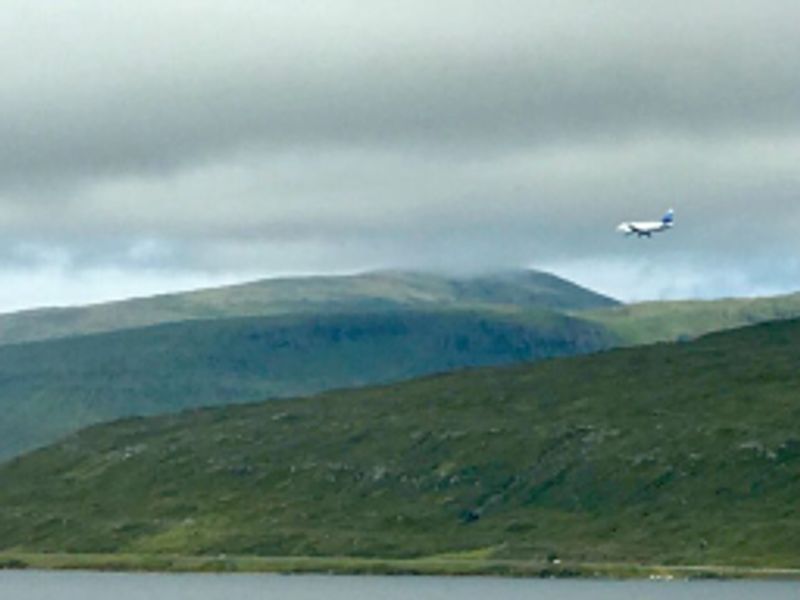
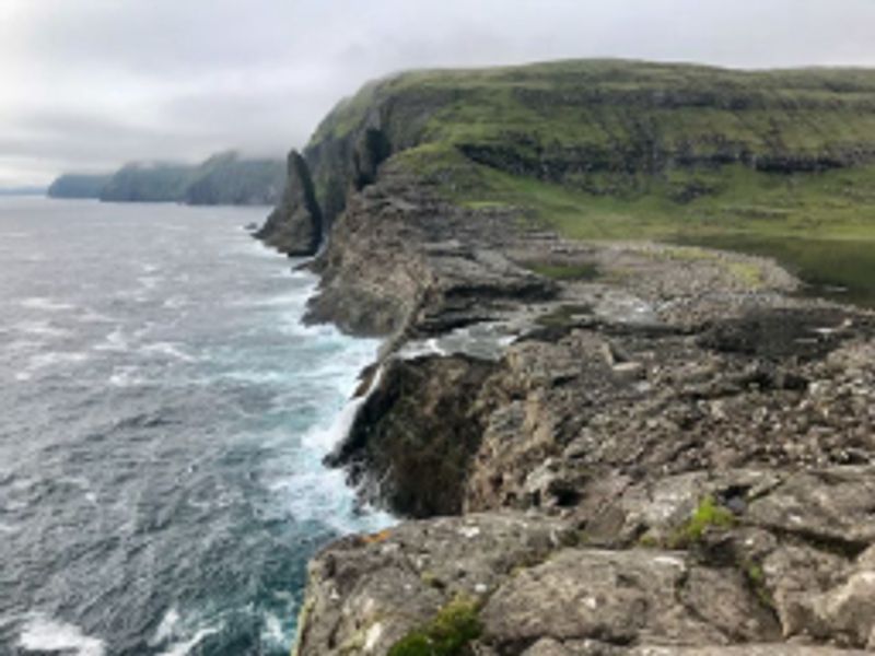
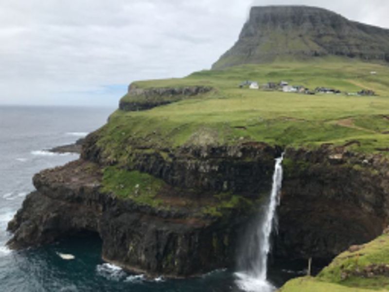
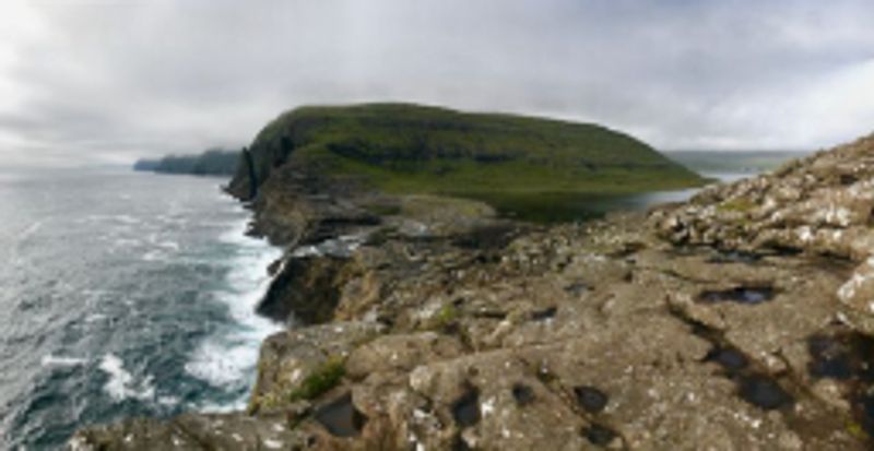
Slættaratindur is the highest peak on the Faroe Islands - at 880 metres. Of course, the hike up the mountain does not start at sea level - rather the track we took started a significant way up the mountain from a small car park, and over a stile.
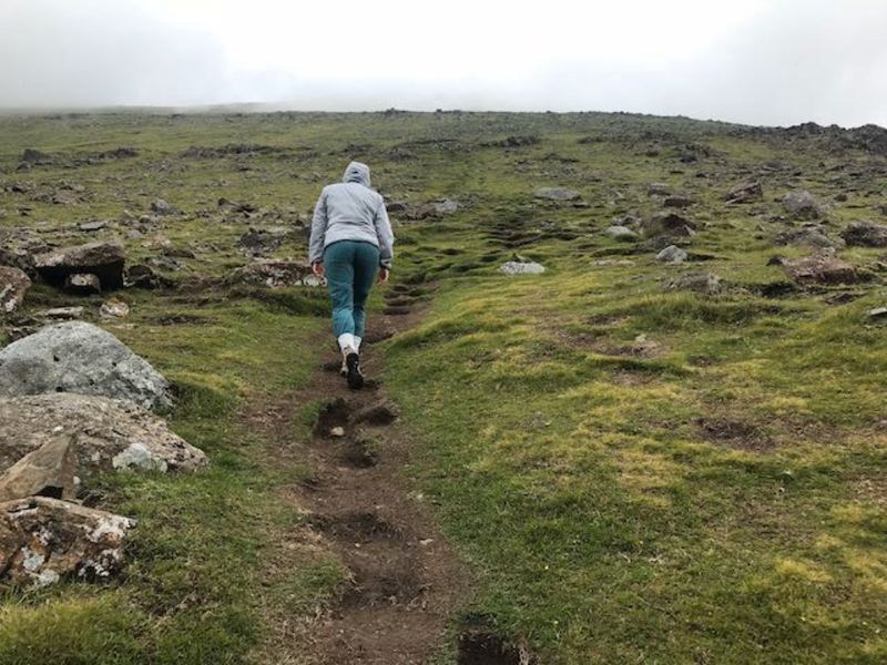
As with many trails in the Faroe Islands, this trail is distinguished by its incredibly steep sections - which almost feel like 45 degree inclines (I am sure they are not quite this steep).
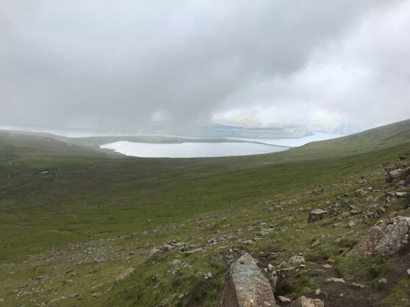
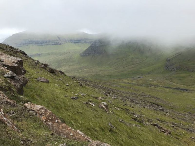
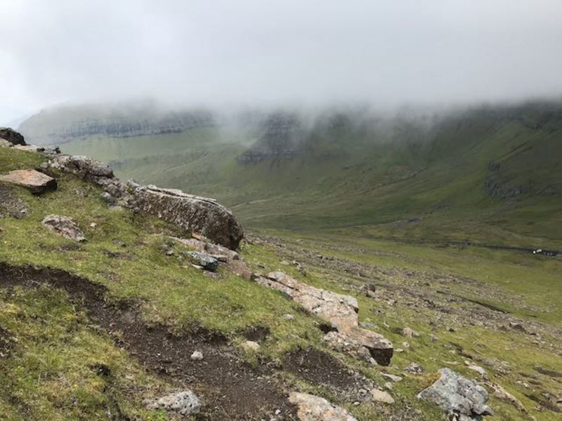
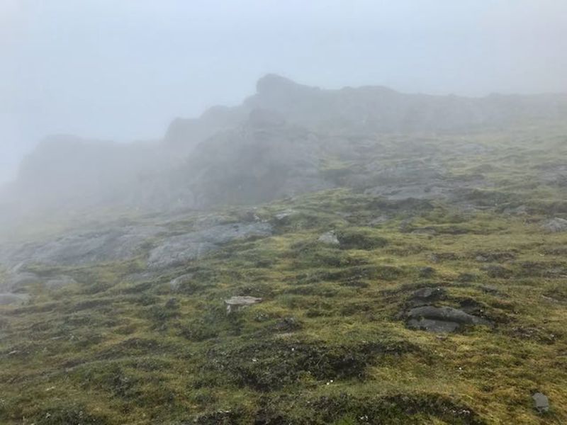
On our ascent in summer 2018, we had clear weather when we set off, but the peak was clearly in the clouds. The walk to the peak from the car park took about 45 minutes of intense walking. We were very glad for the well-marked trail - as near the peak the visibility dropped to only a few metres.
We had our packed-lunch on the top, finding some large rocks to shelter us from the wind. Unfortunately due to the visibility, it was difficult to find the trail back down the mountain again, so I had to rely on a back-track function on my GPS watch to get me to the path. A simple compass would have done the trick - but just be aware that it can be disorientating in the fog.
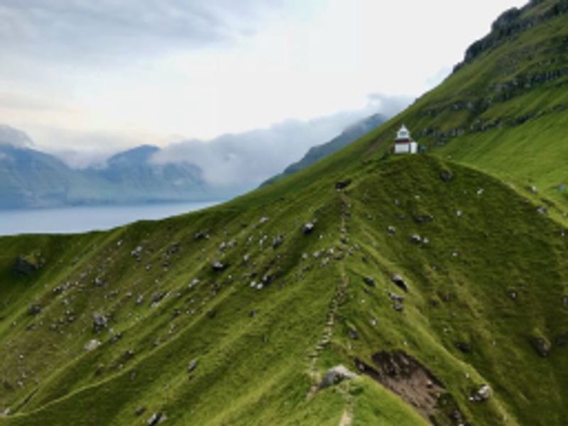
The views across the valley - which were clear for us about half way up the climb - were spectacular!
Details
- Slættaratindur, Faroe Islands
-
Entry
Prices for Slættaratindur - hike to summit Category Price Restrictions Standard Free - Website
-
Sliders
Physical 5 Culture 0 Fun 3 Education 0 -
Tags
Romantic Tourist must-do
Reviews
You may also like
Dan Hill
a few seconds ago
Dan Hill
5 years ago
Dan Hill
5 years ago
Dan Hill
5 years ago
Dan Hill
a few seconds ago
Dan Hill
3 years ago
Dan Hill
5 years ago
Dan Hill
a few seconds ago
Dan Hill
5 years ago
Dan Hill
5 years ago
Dan Hill
a few seconds ago
Related itineraries
Dan Hill
3 years ago
Recommended itineraries

Freya Godfrey
3 years ago
Design Your Italy
3 years ago
Freya Godfrey
3 years ago

Matt Lynch
3 years ago

Sook
3 years ago
Sunny Shrestha
3 years ago

Kat Smith
3 years ago

Freya Godfrey
3 years ago
Sofia Abrantes
3 years ago

Lily Crossley-Baxter
3 years ago